Mount Binaiya. Decisions in life often lead us to unexpected things. There are some things that make us grateful, and there are also things that might make us regret. But believe me, right or wrong, every journey in life will lead us to a more meaningful person.
Mount Binaiya is not just a peak conquest, but an inner journey full of meaning. In every step up the steep path, in every breath that races with the thin air, there are deep values of life. The philosophy of mountaineering reflects the human struggle in facing challenges, getting to know oneself, and becoming one with nature.
Get to know Mount Binaiya: The Roof of the Land of a Thousand Islands
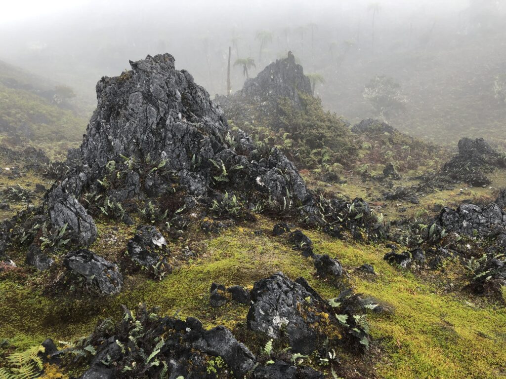
Mount Binaiya. Image:Gunung Bagging
Mount Binaiya is located on Seram Island, which is the largest island in Maluku Province. Administratively, the mountain is included in the Manusela National Park, one of the oldest national parks in Indonesia. The name “Binaiya” itself comes from the local language which is believed to mean “sacred high land”.
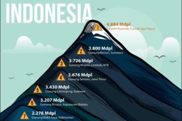
At 3,027m above sea level, Mount Binaiya is among the seven highest peaks in Indonesia from each island. This is what makes it the target of climbers who want to complete the prestigious list.
However, Binaiya is not for those who are just looking for a photo at the summit. The climb there demands physical, mental, and time endurance.
Mount Binaiya Hike
The steep uphill path depicts the difficult phases in life, when we have to exert all our strength, spirit, and mental endurance. It is a phase of self-proving, when character and determination are tested.
Mount Binaiya previously had a hiking trail via Kanike Village located on the north side with a duration of up to 11 days. But now you can take the official route through the adjacent Piliana village on the south side of the mountain. This route was discovered by the expedition team of Highcamp The Adventure Mountaineering Community and Manusela National Park in 2011. With a climbing duration of about eight days, you will pass through various challenging tracks, ranging from forests, rivers to steep climbs.
Check out this guide to climbing Mount Binaiya via Piliana Village:
Yupati
The ascent via Piliana Village starts from Yupati Village, which is a village located on the shoreline and is the 0 meter point of Mount Binaiya. The distance from Yupati to Piliana Village takes about 4 hours.
This hiking track is quite uphill, here you will cross the river several times, one of the rivers passed is the Yehe River which is about 5 meters wide with a depth of 15 to 16 inches. But, during the rainy season, the volume of the river can increase.
Piliana
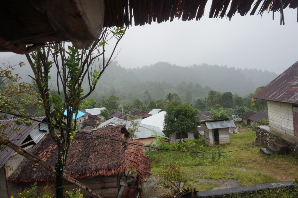
Mount Binaiya. Image:Gunung Bagging
In Piliana Village, you will be welcomed by friendly villagers. Before continuing your journey, you can spend the night at one of the houses of community leaders there.
In this village you pass through a path into the sago forest, with up and down tracks. After passing through the path, you will follow the Titimula River and take a fairly bleak valley.
Upper Yahe River
At the end of the journey from Piliana Village, we arrive at the Upper Yahe River. Before continuing the journey to Lukuamano Post which is quite long and takes approximately 4 hours. Here we start to enter a steep track and enter the forest with large trees and filled with thorny rattan typical of tropical forests.
We can take a short break at the Yamhitala River, while taking water reserves for the trip to Lukuamano Post. The track to this post is uphill with a steep path.
Lukuamano Post
Only a plain measuring no more than 1 x 2 meters on the side of the trail is the Lukuamano Post. This post is a place to rest before heading to Shelter Aye Moto where the track to get there is about 3 hours, the terrain is an arrangement of karst rocks. Here we will pass through a small burrow or cave, and go down a rocky path under which there is a small river called Aimoto River.
Aimoto Shelter
After crossing the Aimoto River, we arrive at a building that can accommodate more than 10 people, the Aimoto Shelter. There is no need to build tents for camping here, as long as the building can accommodate enough hikers.
After spending the night at Aimoto Shelter, we continue our journey to Aiulanusalai with a duration of about 1 hour. But before heading there, first prepare a water supply at the Aimoto River, because this is the last river on the Mount Binaiya track.
Aiulanusalai
This place is a mountain ridge in the form of a vast grass plain. The next step, at Aiulanusalai we continue the journey to Teleuna with a duration of approximately one hour. The track to get there is still uphill on a path that is in a humid forest.
Highcamp – Manukupa Peak
The long trek from Teleuna takes approximately one hour. The Highcamp post is a small plain filled with trees and roots. The name of this post is taken from the name of the community that discovered the Mount Binaiya hiking trail via Piliana Village, namely the Highcamp The Adventure Community.
Highcamp is the starting point of the ridge to Manukupa Peak, from Highcamp to Manukupa the track is quite gentle. However, this track has a lot of thick moss that makes the path slippery.
Camp Isilali
From Manukupa Peak we walk to Isilali Valley, with a distance of about 1.5 hours to Camp Isilali. The path to get there is quite steep with slippery rocks, also passing through a shady moss forest and filled with orchids.
Mount Bintang Peak
Camp Isilali to the summit of Mount Bintang takes approximately 4 hours, by passing up and down trails with sharp karst rocky ground. On this track you need to be careful, if you make a mistake, sharp rocks will hurt your feet. And when you reach the top of Mount Bintang, you can take a short break and unwind.
Nasapeha
After resting at the top of Mount Bintang, the next trip is to Nasapeha. The track is still the same, a steep descent with karst rocks and ravines on the left and right. After passing the ridge of Mount Bintang, we arrive at a humid and wet track, a sign that we have arrived at Nasapeha in the valley area.
Wayfuku Camp
From Nasapeha valley we head to the last camp with a duration of 1.5 hours. The same path still welcomes us to Camp Wayfuku, up and down karst rocks. After traveling for 1.5 hours, we arrive at a meadow that is home to deer, and the Binaiya fern field. This is the second highest point called Camp Wayfuku, which is a camping spot because it is quite flat and has a water source in the form of a rain puddle.
Binaiya Peak
Mount Binaiya. Image:Gunung Bagging
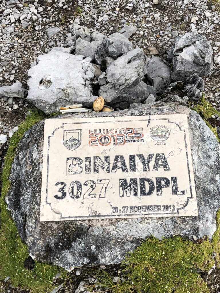
The last point is Binaiya Peak which is longed for and a dream of climbers. The distance from Camp Wayfuku takes 3 hours. The track to the summit is quite uphill. Arriving at the summit, the relief from the fatigue of the journey will be paid off with a view that spoils the eyes. Binaiya 3027 MDPL, that is the name emblazoned on the last highest rock, a sign of the completion of your journey in reaching the highest peak in East Nusa Tenggara.
Philosophy and Traditional Rituals in Mount Binaiya Climbing
Mountain climbing is not just about conquering the peak, but a spiritual journey that is thick with cultural values and has philosophical values in it. This is the case with the traditional rituals of climbing Mount Binaiya performed by the local community, especially the Sawai and Manusela who live around the Manusela National Park area.
A Consecrated Mountain
For the local community, Mount Binaiya is not just an ordinary mountain, but a sacred and holy place. They believe that Binaiya is the highest place of ancestral spirits, and every step on the hiking trail should be done with respect.
This philosophy teaches us as hikers to lower our ego, maintain our attitude, and understand that nature has invisible powers. Climbing Mount Binaiya means we are entering a sacred space that must be guarded with a clean heart and good intentions.
Customary Rituals Before Climbing
Before starting the climb, climbers are usually required to follow traditional rituals as a form of respect for ancestors and the surrounding nature. These rituals are led by traditional elders or community leaders, and are often conducted in villages such as Piliana Village or Kanike Village, which are the main entrances to the hike.
The Deep Meaning Behind the Ritual
Philosophically, this ritual teaches about:
- Balance between man and nature
- Awareness of self-limitation
- The importance of maintaining ethics and manners in sacred areas
This is a form of local wisdom that has been passed down for generations, and is an invaluable cultural heritage that enriches the experience of climbing Mount Binaiya.
The True Essence of Climbing Binaiya
Mount Binaiya. Image:Gunung Bagging
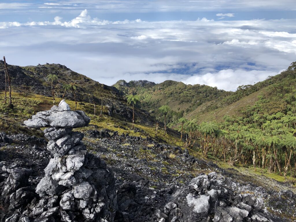
Mount Binaiya is not just a hiking destination, but a mirror of deep life values. Each trail is a lesson in resilience, respect for nature, and contemplation of the meaning of life.
Through traditional rituals and the philosophy of the local community, we are invited to be wiser in interpreting this journey-not as a conquest, but as a process of unification between humans, nature, and ancestors. Therefore, if you intend to climb Mount Binaiya, come with a clean heart, open mind, and sincere respect. For truly, Binaiya is a teacher of life that teaches sincerity in steps and meaning in every breath.
